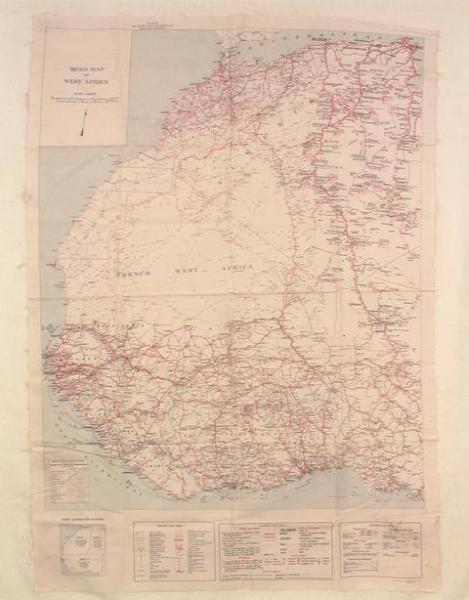
Artist/Maker
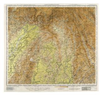
United States Army Map Service
Escape map
1942
Place madeWashington DC, United States, North America
Cotton
Overall: 35 1/8 x 25 1/8 in. ( 89.2 x 63.8 cm )
Gift of Mr. James G. Strobridge
1967.13
This map was made to facilitate escape of downed U.S. Airforce personnel for the African invasion during World War II. The map was created from old tour books which is why the scale varies in the three sections. The donor recieved the map from the U.S. Army Map Service, with which he was associated.
DescriptionCotton printed map of northwest Africa with three legends across the bottom; printed in blue, black and red ink on a white ground.Markingsprinted: all over: "ROAD MAP/ OF/ WEST AFRICA/ SCALE 1:5,000,000/ For use by/ War and Navy Department Agencies only/ Not for sale or distribution/ ..."
ClassificationsMILITARY TOOLS & EQUIPMENT: MISCELLANEOUS
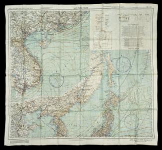
United States Army Map Service
1945
2015.42